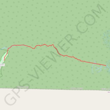
Canal Run to SFSP canoe trail
- Distance : 13,7 Km
- Dénivelé positif : 14 m
- Altitude maximum : 42 m
- Dénivelé négatif : 18 m
- Altitude minimum : 33 m
- Temps en mouvement : 2 h 59 m
- Vitesse en mouvement : 4,6 Km/h
- Vitesse maximum : 28,3 Km/h
- Temps total : 3 h 52 m
- Vitesse globale : 3,5 Km/h
- Date : 30/11/22
Carte interactive
Profil de la trace GPS
À propos de cette trace GPS
Nom : Trace GPS Canal Run to SFSP canoe trail, itinéraire, parcours
Départ : Canal Run, Charlton County, Georgia, United States (30.81530 -82.25304)
Arrivée : 44, State Highway 177, Charlton County, Georgia, United States (30.82032 -82.36462)
Coordonnées : 30.81530 -82.36465 30.83552 -82.25293