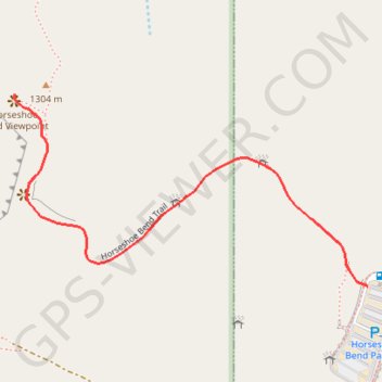
Horseshoe Bend Viewpoint
Carte interactive
Profil de la trace GPS
À propos de cette trace GPS
Nom : Trace GPS Horseshoe Bend Viewpoint, itinéraire, parcours
Départ : Horseshoe Bend Parking, US 89, Page, Coconino County, Arizona, United States (36.87745 -111.50275)
Arrivée : Horseshoe Bend Parking, US 89, Page, Coconino County, Arizona, United States (36.87745 -111.50275)
Coordonnées : 36.87745 -111.51085 36.88099 -111.50275
Autres traces GPS
Cliquez sur une trace GPS pour visualiser son itinéraire, ses statistiques et son profil.