Top of the World
Carte interactive
Profil de la trace GPS
À propos de cette trace GPS
Nom : Trace GPS Top of the World, itinéraire, parcours
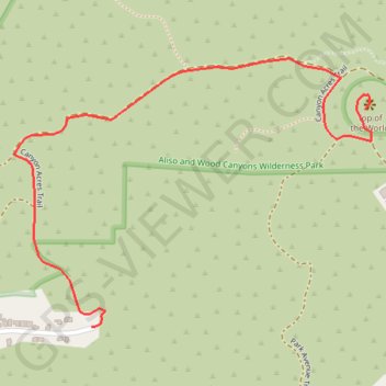
Coordonnées : 33.55293 -117.76981 33.55856 -117.76082
Autres traces GPS
Cliquez sur une trace GPS pour visualiser son itinéraire, ses statistiques et son profil.
Car Wreck Trail
United States > California > Orange County > Laguna Beach > Top of the World
Loop hike on the Car Wreck Trail from Alta Laguna Park via West Ridge Trail, Mathis Canyon Trail and Top of the World in the Aliso and Wood Canyons Wilderness Park. #Hike #Loop #Nature #Mountain #Forest #Wilderness #Park #Pacific #Ocean #Sea
Distance : 5,8 Km • Dénivelé positif : 261 m • Altitude maximum : 312 m