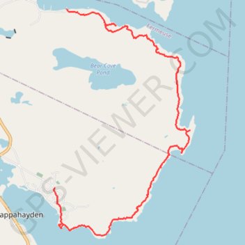
East Coast Trail - Bear Cove Point Path
- Distance : 12,9 Km
- Dénivelé positif : 428 m
- Altitude maximum : 63 m
- Dénivelé négatif : 405 m
- Altitude minimum : 0 m
Carte interactive
Profil de la trace GPS
À propos de cette trace GPS
Nom : Trace GPS East Coast Trail - Bear Cove Point Path, itinéraire, parcours
Arrivée : Renews-Cappahayden, Newfoundland, Newfoundland and Labrador, Canada (46.92843 -52.93348)
Coordonnées : 46.91882 -52.93374 46.96499 -52.89292