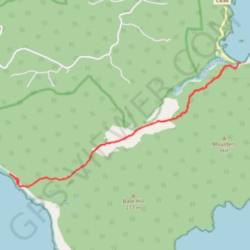
South Coast Track - Rocky Bay - South Cape Bay
South West National Park. #Hike #SouthWest #Tasmania
- Distance : 16,8 Km
- Dénivelé positif : 286 m
- Altitude maximum : 44 m
- Dénivelé négatif : 289 m
- Altitude minimum : -1 m
- Temps en mouvement : 4 h 31 m
- Vitesse en mouvement : 3,7 Km/h
- Vitesse maximum : 18,7 Km/h
- Temps total : 5 h 25 m
- Vitesse globale : 3,1 Km/h
- Date : 16/01/20
Carte interactive
Profil de la trace GPS
À propos de cette trace GPS
Nom : Trace GPS South Coast Track - Rocky Bay - South Cape Bay, itinéraire, parcours
Départ : South Coast Track, Cockle Creek, Recherche, Huon Valley, Tasmania, Australia (-43.58377 146.89272)
Arrivée : Cockle Creek, Recherche, Huon Valley, Tasmania, Australia (-43.58278 146.89410)
Coordonnées : -43.61135 146.82031 -43.58263 146.89410