Mastodon Peak
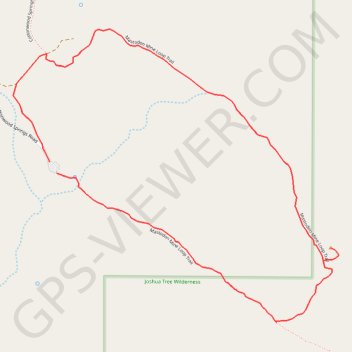
Carte interactive
Profil de la trace GPS
À propos de cette trace GPS
Nom : Trace GPS Mastodon Peak, itinéraire, parcours
Départ : Mastodon Mine Loop Trail, Riverside County, California, United States (33.73680 -115.81062)
Coordonnées : 33.73160 -115.81245 33.74183 -115.79880