Importer un fichier GPX

Cawthra Mulock Nature Reserve Loop

#Hike #Loop #CawthraMulock

  • Distance : 2,8 Km
  • Dénivelé positif : 50 m
  • Altitude maximum : 249 m
  • Dénivelé négatif : 50 m
  • Altitude minimum : 227 m
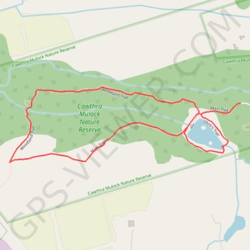
Carte interactive

Profil de la trace GPS

À propos de cette trace GPS

Nom : Trace GPS Cawthra Mulock Nature Reserve Loop, itinéraire, parcours

Départ : Main Trail, King, East Gwillimbury, York Region, Golden Horseshoe, Ontario, L9N 0B2, Canada (44.07148 -79.51720)

Arrivée : Main Trail, King, East Gwillimbury, York Region, Golden Horseshoe, Ontario, L9N 0B2, Canada (44.07148 -79.51720)

Coordonnées : 44.06939 -79.52850 44.07203 -79.51720

Autres traces GPS

Cliquez sur une trace GPS pour visualiser son itinéraire, ses statistiques et son profil.

Québec - Montréal - Saint-Laurent River - Lake Ontario - Niagara Falls

Canada > Quebec > Urban agglomeration of Québec > Quebec

#Bike #Ontario

Distance : 1.078,4 Km • Dénivelé positif : 4.804 m • Altitude maximum : 209 m