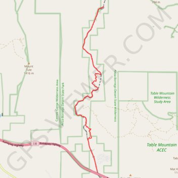
Importer un fichier GPX

Goat Canyon Trestle

Hike to the Goat Canyon Trestle via the Desert Line Railroad in the Carrizo Canyon through the Anza-Borrego Desert State Park. #Hike #Canyon #Desert #Nature #Park

  • Distance : 12,7 Km
  • Dénivelé positif : 373 m
  • Altitude maximum : 832 m
  • Dénivelé négatif : 510 m
  • Altitude minimum : 663 m

Carte interactive

Profil de la trace GPS

À propos de cette trace GPS

Nom : Trace GPS Goat Canyon Trestle, itinéraire, parcours

Départ : Carrizo Gorge Road, San Diego County, California, 91934, United States (32.64763 -116.18641)

Arrivée : Goat Canyon Trestle, abandoned trail, San Diego County, California, United States (32.72963 -116.18303)

Coordonnées : 32.64763 -116.19983 32.72963 -116.18303