View of the Temple of the Sun and the Temple of the Moon
Hike on the Lower Cathedral Valley Overlook Route in the Capitol Reef National Park. #Hike #Overlook #Nature #Rock #Desert #Park
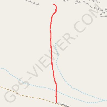
- Distance : 2,8 Km
- Dénivelé positif : 48 m
- Altitude maximum : 1.819 m
- Dénivelé négatif : 48 m
- Altitude minimum : 1.776 m
- Temps en mouvement : 46 m 50 s
- Vitesse en mouvement : 3,6 Km/h
- Vitesse maximum : 4,0 Km/h
- Temps total : 46 m 50 s
- Vitesse globale : 3,6 Km/h
- Date : 08/03/24
Carte interactive
Profil de la trace GPS
À propos de cette trace GPS
Nom : Trace GPS View of the Temple of the Sun and the Temple of the Moon, itinéraire, parcours
Départ : Hartnet Road, Wayne County, Utah, United States (38.43039 -111.20563)
Arrivée : Hartnet Road, Wayne County, Utah, United States (38.43039 -111.20563)
Coordonnées : 38.43034 -111.20664 38.44217 -111.20560