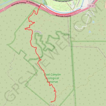
Coal Canyon
Hike to the summit of the Coal Canyon Ecological Preserve via the Santa Ana River, the Chino Hills State Park and the Coal Canyon Trail. #Hike #Nature #Mountain #River #Forest #Canyon #Park
- Distance : 7,9 Km
- Dénivelé positif : 559 m
- Altitude maximum : 676 m
- Dénivelé négatif : 24 m
- Altitude minimum : 127 m
Carte interactive
Profil de la trace GPS
À propos de cette trace GPS
Nom : Trace GPS Coal Canyon, itinéraire, parcours
Coordonnées : 33.83820 -117.69318 33.87295 -117.66926