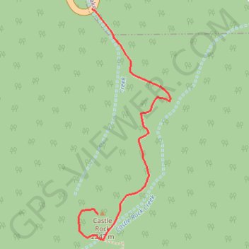
Castle Rock
Carte interactive
Profil de la trace GPS
À propos de cette trace GPS
Nom : Trace GPS Castle Rock, itinéraire, parcours
Coordonnées : 34.23060 -116.96220 34.23671 -116.95928
Nom : Trace GPS Castle Rock, itinéraire, parcours
Coordonnées : 34.23060 -116.96220 34.23671 -116.95928